

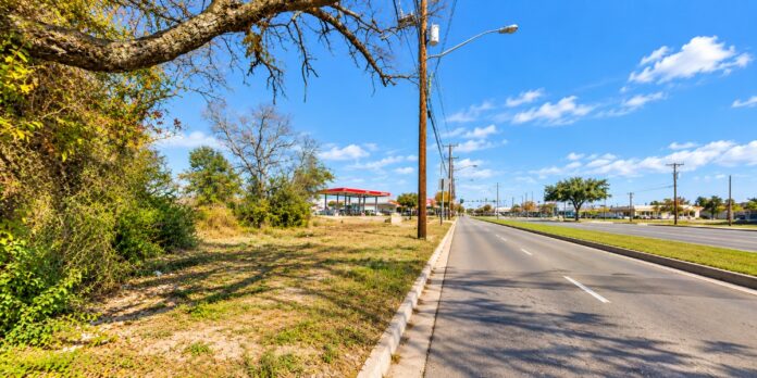
SEAGOVILLE — A proposal to slow traffic on Malloy Bridge Road between Highway 175 and Ross Lane raised a question that available public records do not yet settle: Does the existing limit match the conditions faced by drivers and pedestrians?
City records confirm the council placed the corridor’s speed limit on its June 8, 2026, work-session agenda.
However, the accompanying staff memo contained no measured-speed results, crash analysis or pedestrian assessment supporting a particular limit.
It identified the discussion as a request from Mayor Pro Tem Harold Magill.
A review of available records did not verify a subsequent ordinance lowering the limit on that stretch.
Nor did it locate the corridor-specific evidence needed to conclude that either the existing limit or a proposed reduction is the appropriate choice.
How the concern developed
At the April 27 council meeting, Magill described complaints from residents along Malloy Bridge Road near the former animal shelter.
The long-term city official cited homes in the area, difficulty entering the road and traffic associated with nearby restaurants.
Magill said vehicles were traveling at 40 to 50 mph and suggested considering a 30 mph limit. Those figures were statements during council discussion, rather than findings from a documented speed survey.
His initial reference to a posted 35 mph limit also illustrates why the precise location and existing signs need verification.
During the June discussion, council members considered a reduction to 30 mph, questioned whether drivers would obey a lower limit and raised the possibility of a traffic study.
The discussion also addressed commercial vehicles using the road.
What later records establish
The city’s published speed-limit table lists 40 mph on Malloy Bridge Road from North Kaufman Street to a point one-half mile north of the Highway 175 westbound frontage road, identified as the 1300 block of West Malloy Bridge Road.
Other portions carry different limits, making the boundaries important when evaluating the Highway 175–Ross Lane segment.
The code publisher also lists an August 24 traffic amendment, Ordinance 2026-30. Examination of that ordinance shows it directs installation of a southbound stop sign at Highland Drive and Earl Street.
It does not change Malloy Bridge Road’s speed limit.
Crashes and measured speeds remain unverified
No verified crash total for the exact Highway 175–Ross Lane segment was established for this article.
Consequently, there is no supported basis here for reporting that crashes increased, decreased or resulted from the existing limit.
TxDOT maintains police-reported crash information through its Crash Records Information System and provides public tools for querying that data.
A meaningful comparison would require records limited to this corridor, with consistent dates and identification of injuries, pedestrian involvement and reported contributing factors.
Similarly, no published speed survey for the segment was located.
Residents’ observations establish a concern, but they cannot establish average speeds, the proportion exceeding the limit or the speeds recorded under normal traffic conditions.
TxDOT’s description of highway speed studies explains that engineers consider measured speeds alongside crash history, road geometry, cross streets and traffic-generating locations.
Driveway concentration and roadside development can also affect the analysis. That guidance provides context; it is not a completed study of Malloy Bridge Road.
Pedestrian conditions need examination
The June agenda memo did not document sidewalk continuity, crossing locations, lighting, accessibility or pedestrian counts.
This review therefore cannot verify whether people walking along or across the stretch have adequate protection.
The available evidence establishes that residents’ concerns reached the council. It does not establish that 40 mph is appropriate, or that changing signs to 30 mph would resolve those concerns.
A defensible answer requires measured speeds, a geographically matched crash review and a current assessment of walking and crossing conditions.